LESSON 13:
THE GEOGRAPHY OF THE WEST PART 2
FOCUS ACTIVITY
|


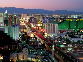
Las Vegas, Nevada
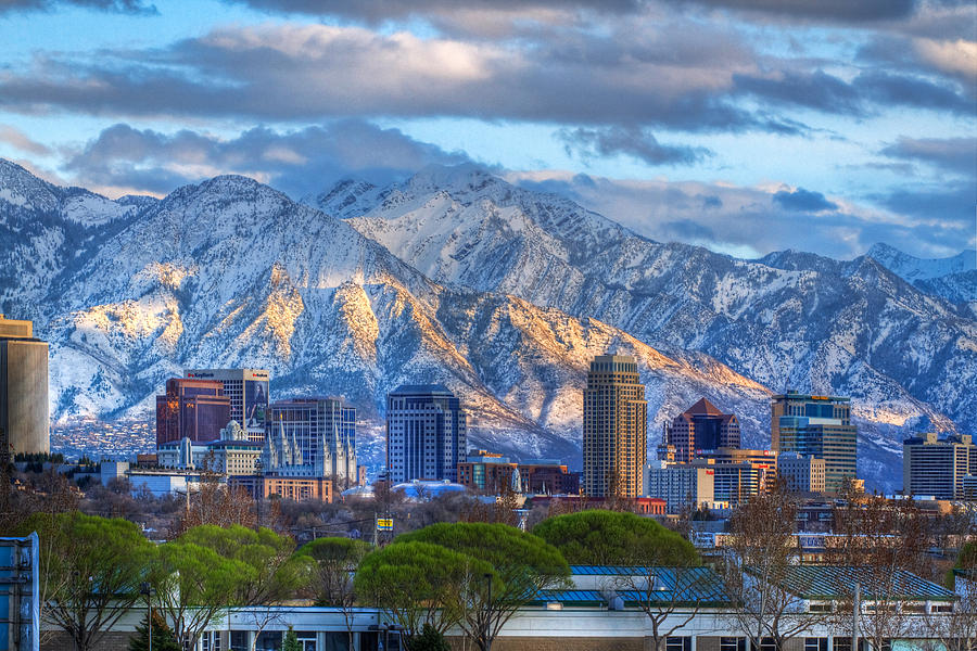
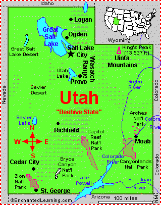
Salt Lake City, Utah
|
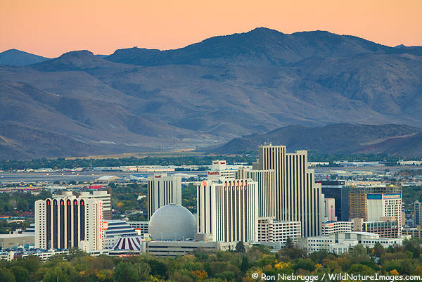
Reno, Nevada
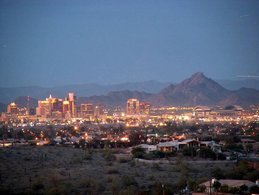
Phoenix, Arizona
|
Rivers
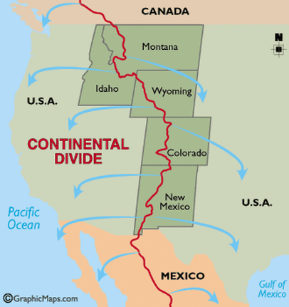
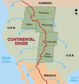
Continental Divide
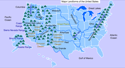
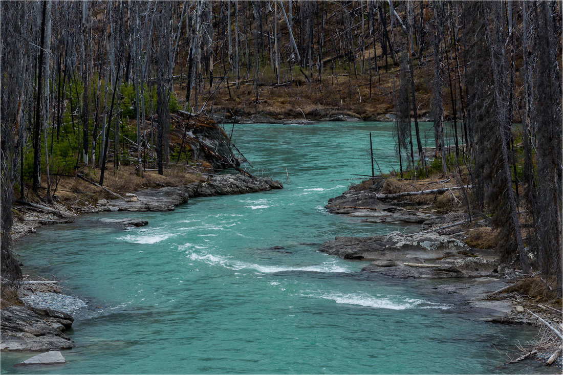
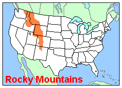
The West Region has rivers that empty into the Pacific Ocean. In fact, the Mountain West Region has a line that divides our continent in half. This line is called the Continental Divide. The Continental Divide is a line of ridges. It runs north and south through the Rocky Mountains. All rivers that begin west of the divide flow into the Pacific Ocean. Rivers that begin east of the divide flow into the Gulf of Mexico or towards the Atlantic Ocean. The Continental Divide is the reason rivers in the West Region flow into the Pacific.
The Rivers' Impacts
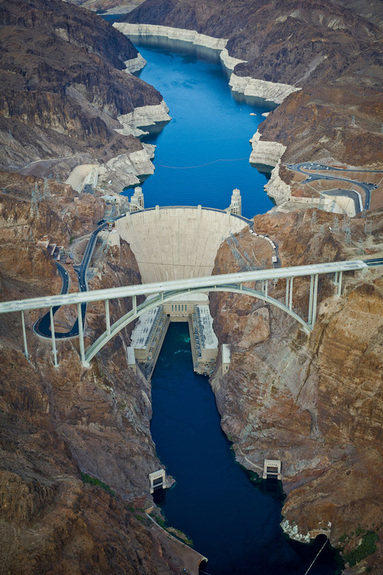
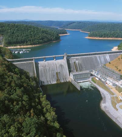
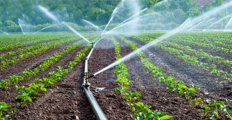
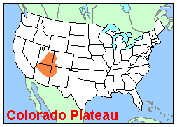
The Mountain West's rivers have shaped its land. The Colorado River is responsible for the Grand Canyon and the Colorado Plateau. It is the region's most important river. People in the West region rely on it for drinking water and irrigation. One of our most famous dams is located on this river. It is the Hoover Dam.
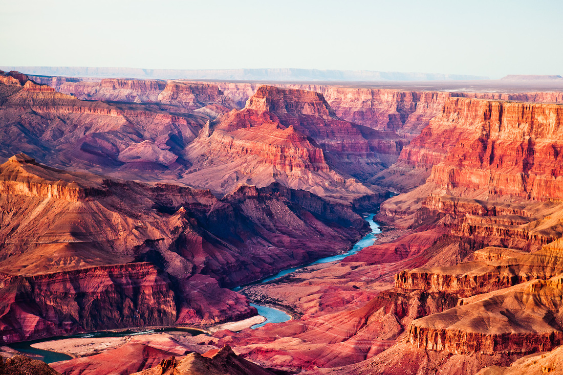
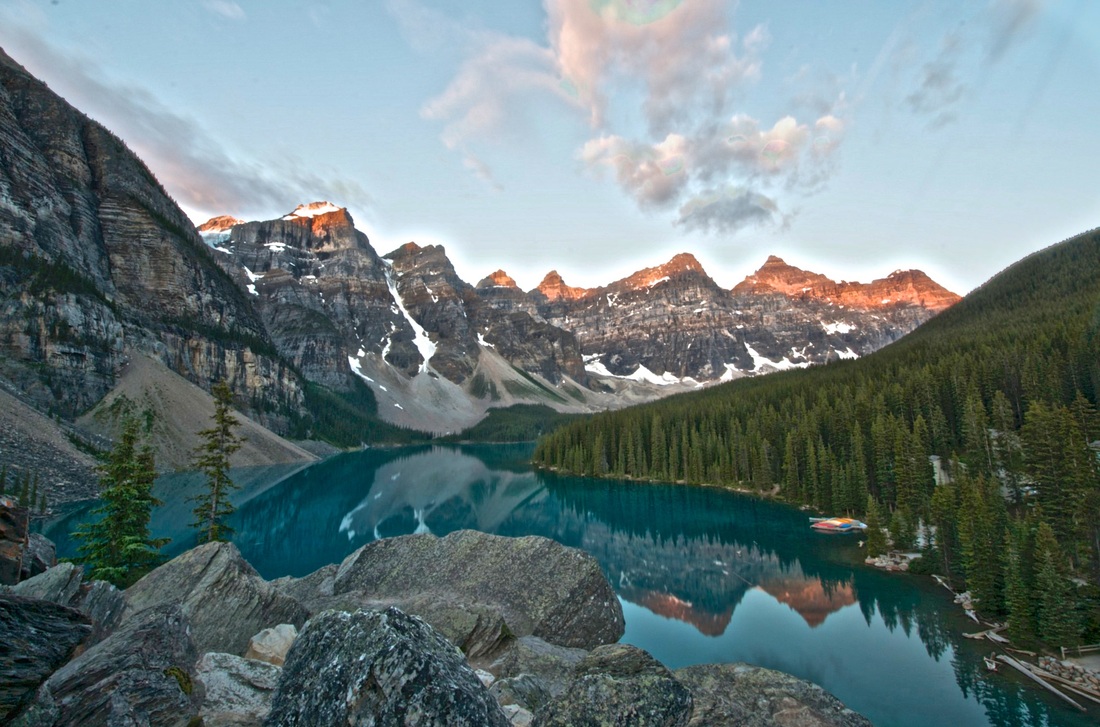
The Grand Canyon and Colorado River
|
Colorado River running through the Grand Canyon
|
|
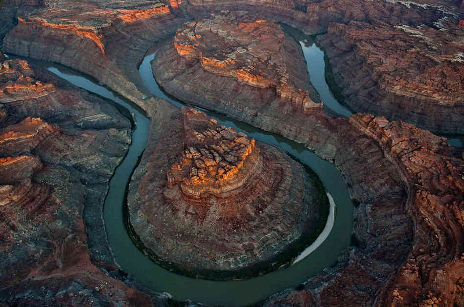
The Colorado Plateau
|
River Flow
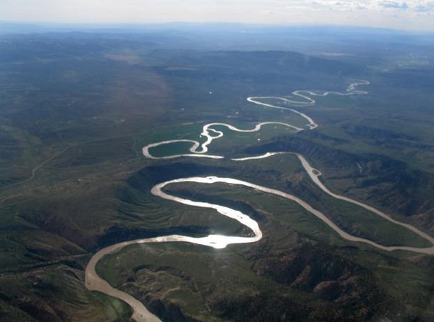
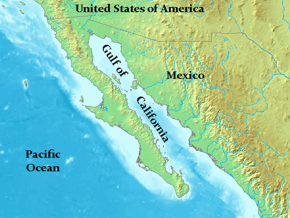
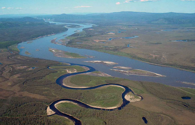
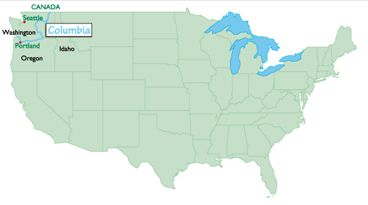
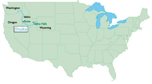
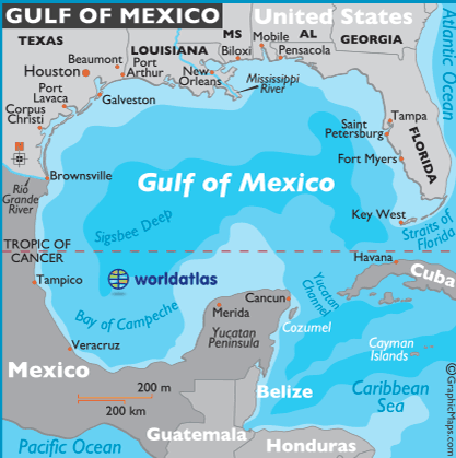
The Colorado, which begins in the Rockies, flows south and west. It flows through Colorado, Utah, and Arizona. The river empties into the Gulf of California. The gulf then flows into the Pacific Ocean. In northwestern Wyoming, there is the Snake River. If you find it on a map, you will see why it has this name. The river is curved like a snake. The Snake River flows through Idaho into Washington State. Since it begins in the western Rocky Mountains, it flows toward the Pacific Ocean. It combines with the Columbia River as it flows through Washington.
Columbia River
|
Snake River
|
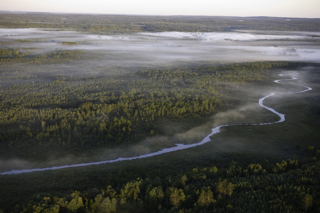
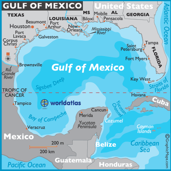
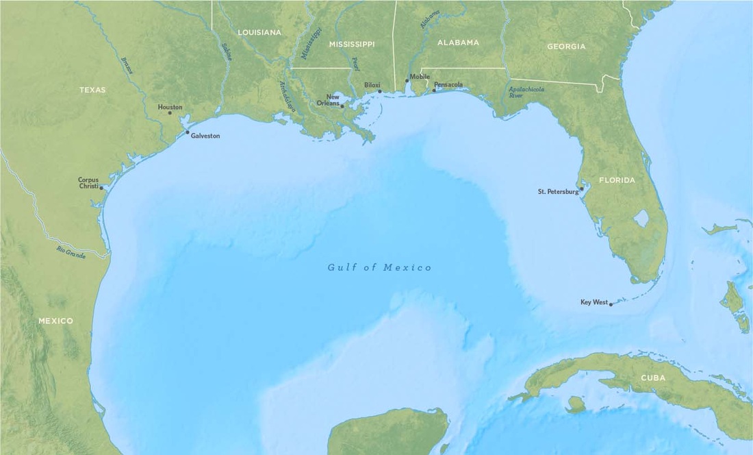
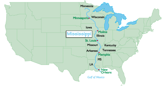
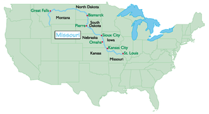
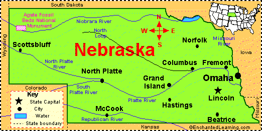
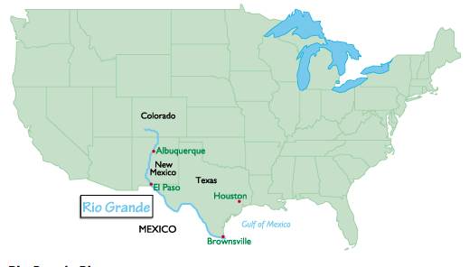
There are other Mountain West rivers that flow into the Gulf of Mexico. The Missouri River begins in the eastern Rocky Mountains. It flows across the Great Plains of Montana, North Dakota, and South Dakota. The river also forms the borders of four other states. Finally, it empties into the Mississippi River. The Platte River begins its journey in the Rockies. It flows through Wyoming and Nebraska. The Platte is a tributary of the Missouri River. The last major river, the Rio Grande, flows through all of New Mexico. It empties into the Gulf of Mexico.
Mississippi River
|
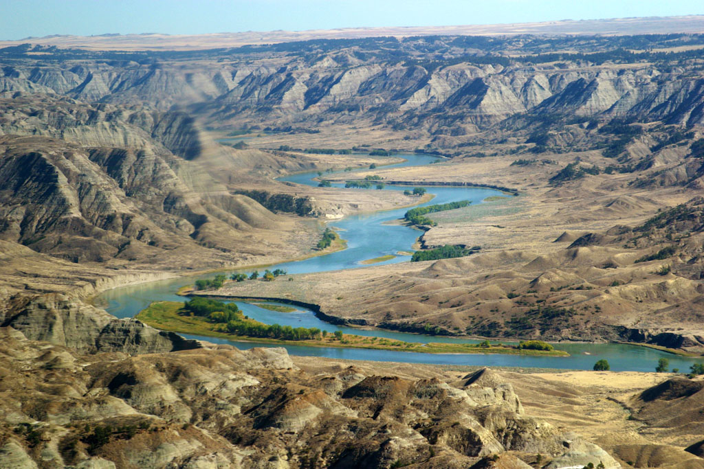
Missouri River
|
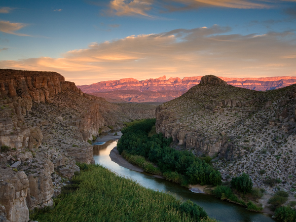
Rio Grande River
Climate
The Pacific Coast Region
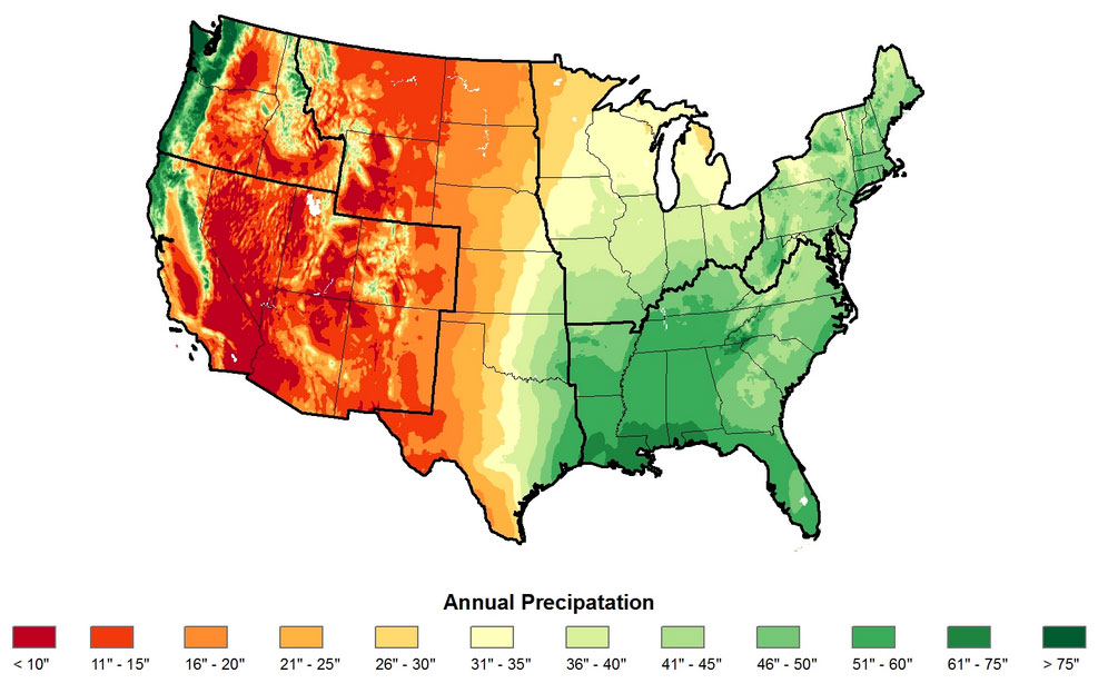
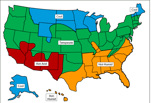
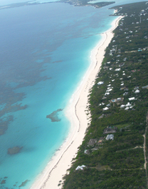
The West Region is known for its variety of climates. The eastern part of the region receives a lot of rain. As you travel across the region, the rainfall amounts decrease. The Pacific Coast receives a large amount of rain.
The Pacific Northwest
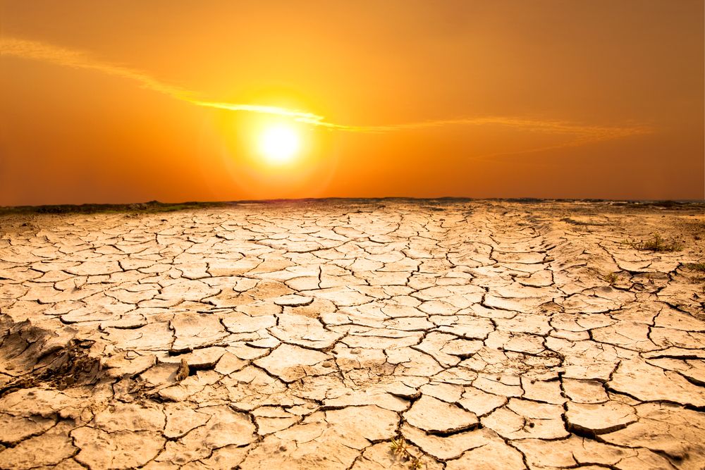
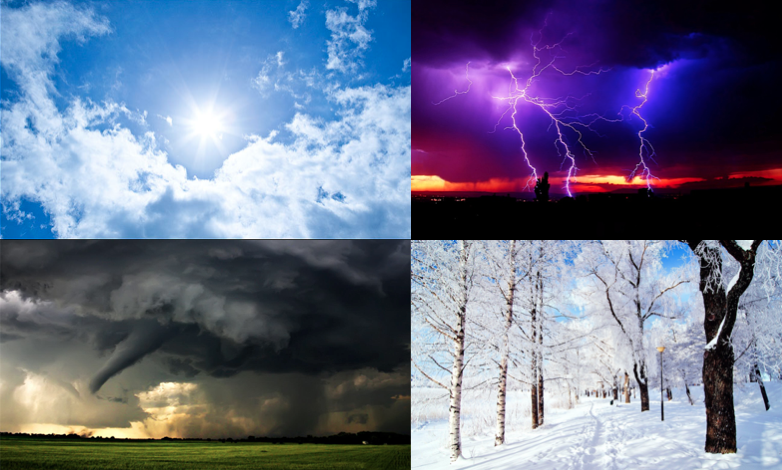
If you live in the Pacific Northwest, you are in an area that gets a lot of rain. Even with the rainfall, the West Region has more droughts than the rest of the U.S. In the Rocky Mountains, there is heavy snow. The snow remains on the ground for months at a time. Once the snow melts, the water goes into the Colorado, Rio Grande, and other rivers. Violent weather tends to happen east of the Rocky Mountains. This is where you will see violent thunderstorms and tornadoes.
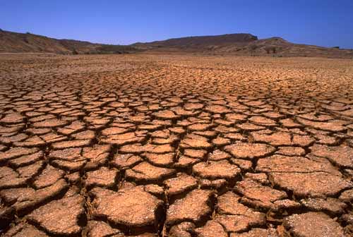
drought
|
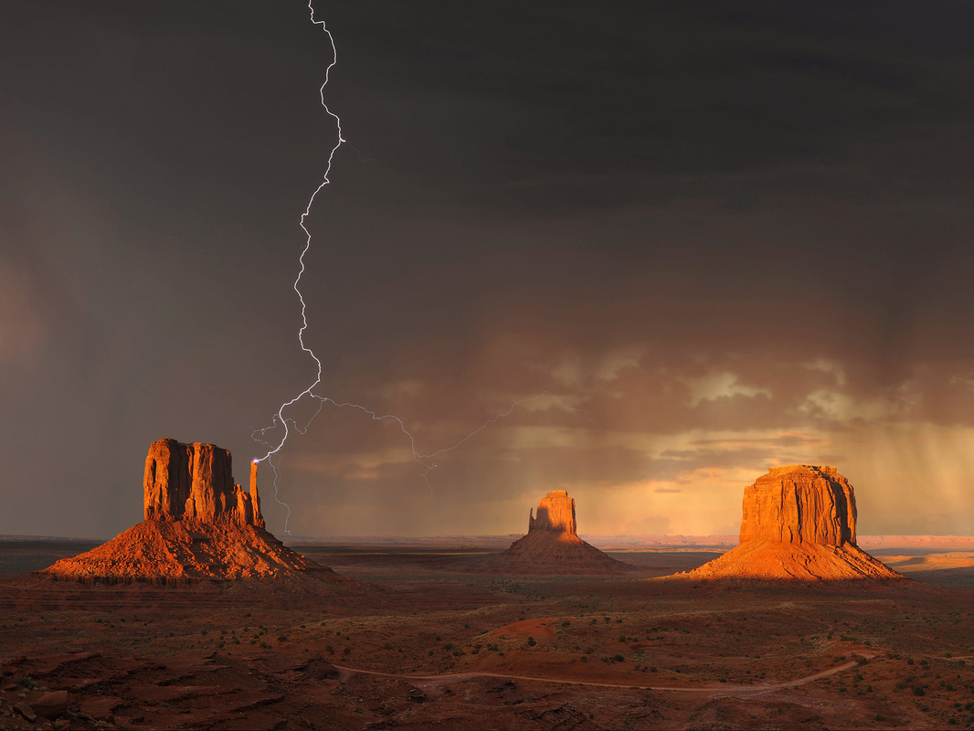
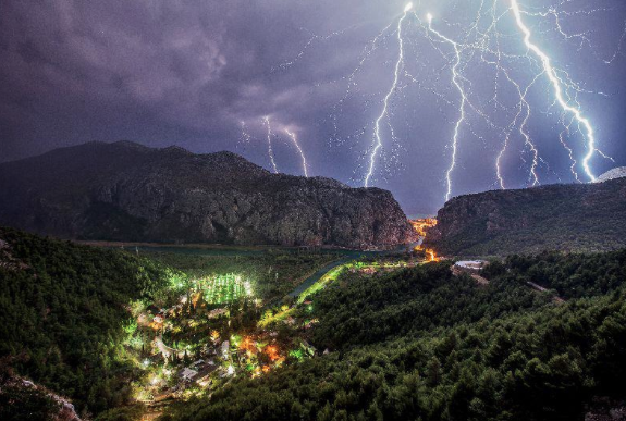
thunderstorm
|
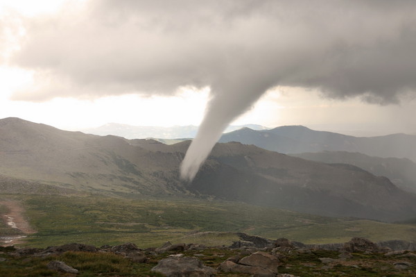
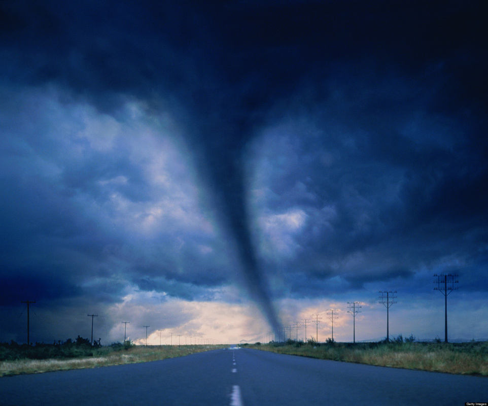
tornado
|
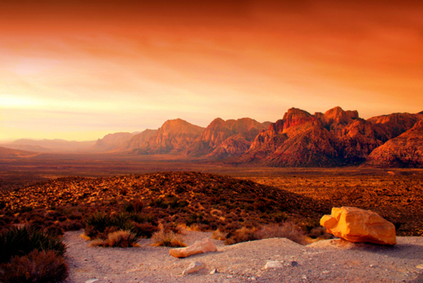
The Southwest
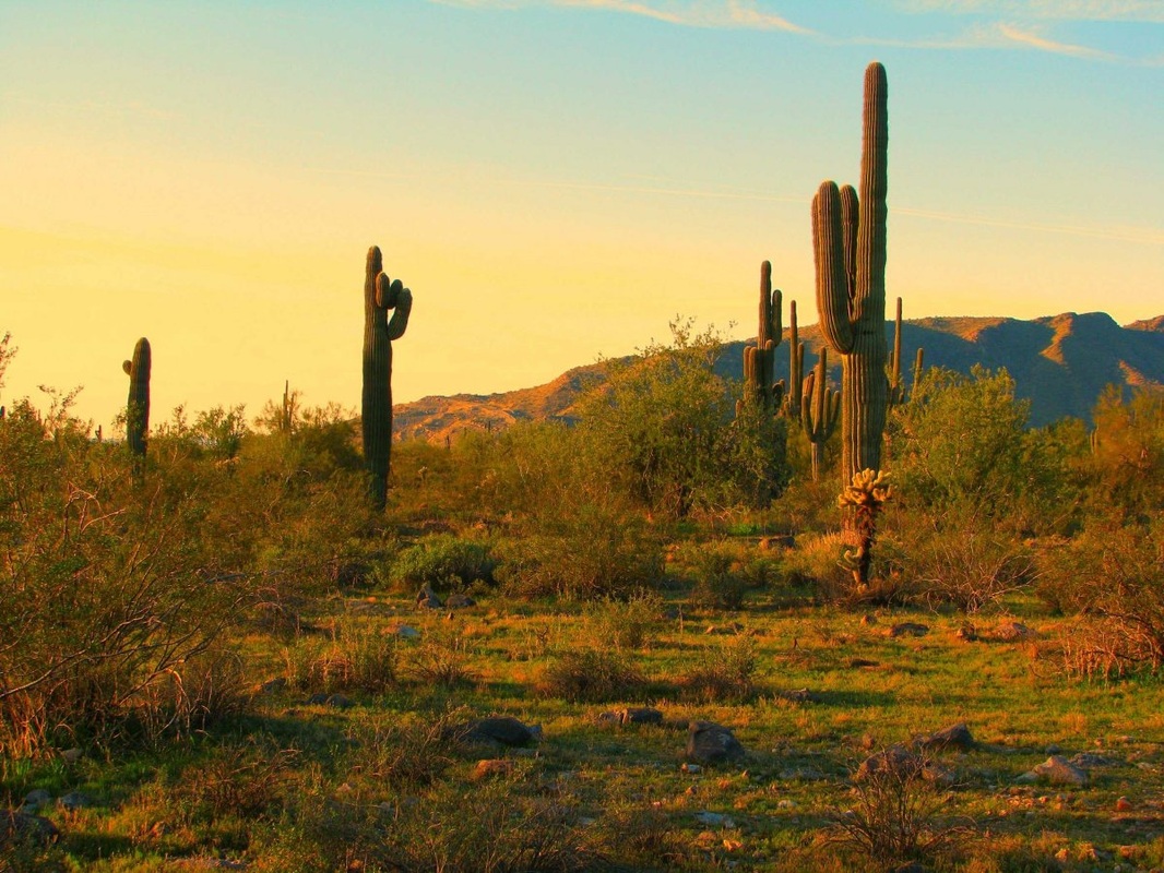
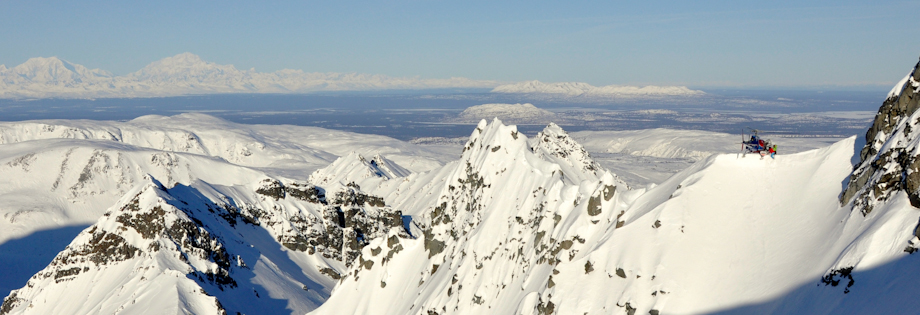
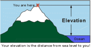
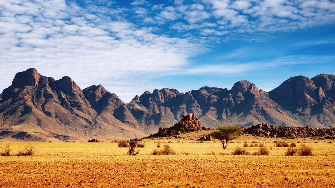
In the southern part of the region, the weather is very warm. Arizona and New Mexico have warm winters and very little rainfall. Around the Rocky Mountains and Colorado Plateau the winter temperatures can be very low. The climate of the Mountain West depends on the land's elevation. Places at higher elevations have cooler climates. Summers in the mountains are cool.
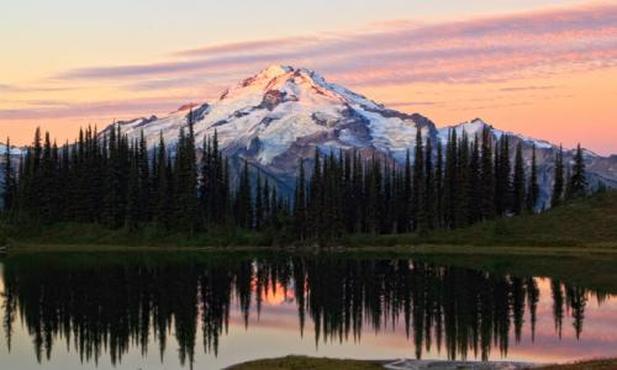
Rocky Mountains
The Pacific West
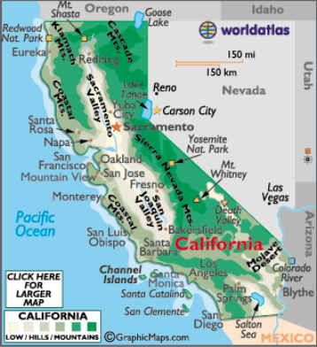
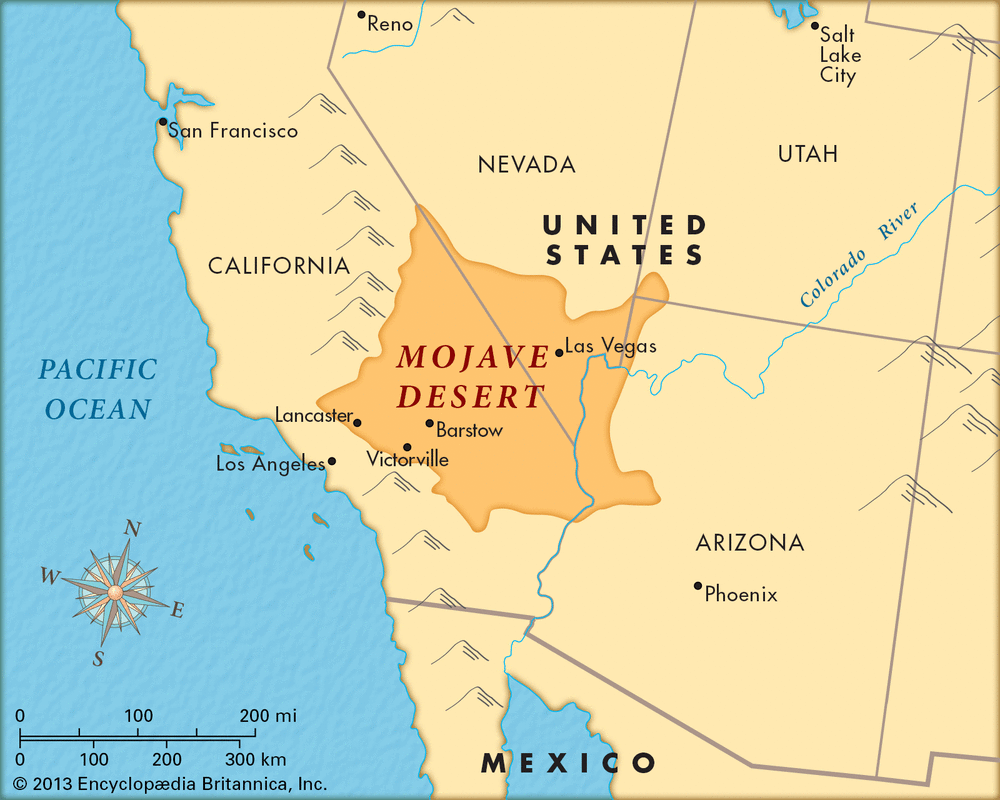
The Pacific West has the most variety in its climate. You could travel from extremely hot and dry climates to cold and rainy climates all in this subregion. Southern California has dry, hot weather. The Mojave Desert and Death Valley are located here. Washington State and Oregon have cooler climates and more rainfall. Along the coast, the climate is cool. You will find lower temperatures in California, Oregon, and Washington along their coastlines. The Pacific West valleys also have cooler climates.
Cascades in Washington State
|
Mojave Desert
|
Death Valley
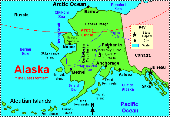
Alaska and Hawaii
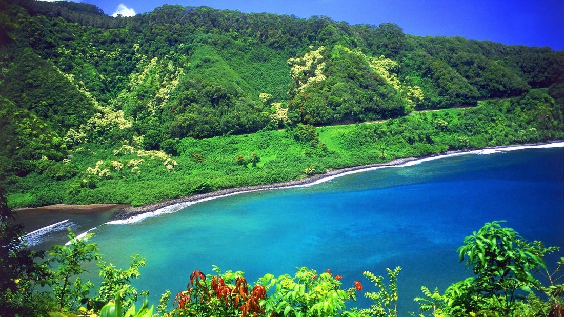
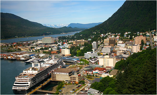
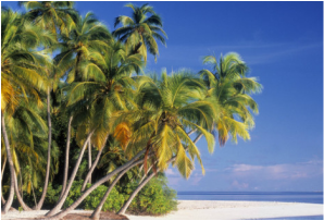
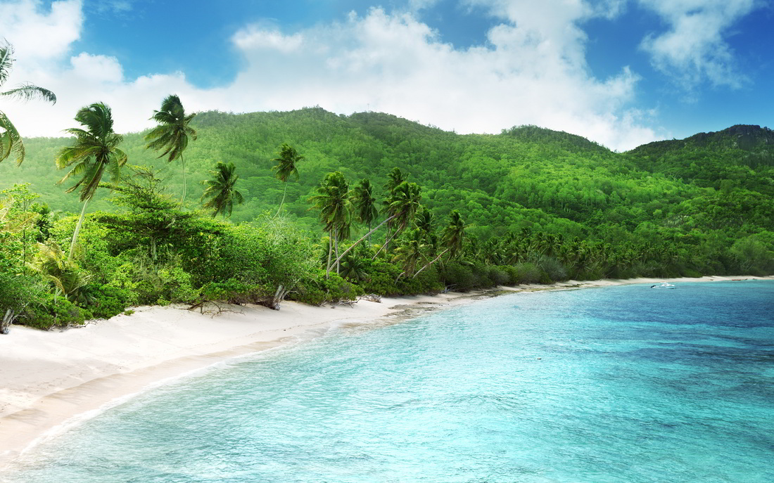
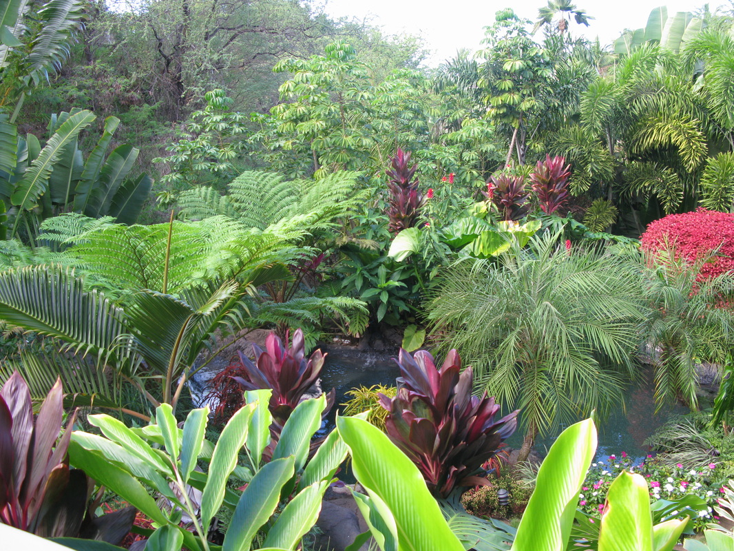
Two states in the Pacific West have very different climates. Alaska has mild and extremely cold temperatures. Northern Alaska is near the Arctic Ocean. Lakes and rivers in this area are frozen for most of the year. The winters are very cold with strong winds. Southern Alaska has warmer temperatures. Summer in cities like Juneau, its capital, is mild. Hawaii is in a tropical zone. It is warm all year round. There is a lot of rainfall all year. This helps palm trees and other tropical plants to grow year round. With its variety of landforms and climates, the West Region is a definite stop on your tour of the United States regions.
Northern Alaska
Hawaii
|
Juneau, Alaska in the Summer
|
SMALL GROUP ACTIVITY
Mapping

DIRECTIONS: Over the next few lessons, you will work on a geography project. You will each make your very own, geography picture book that will go into your Lesson Chronicles. You will each receive a photocopy of the packet embedded below. You can find all the answers on this webpage.
INDIVIDUAL ACTIVITY
Lesson Chronicles
Remember you will do the Geography Packet as your Lesson Chronicles Entries for Topic 6.

DIRECTIONS: Make sure that you have put all of the mini-project pages into your lesson chronicles. You will be graded on this mini-project. It will be worth 100 points.
HOMEWORK
Family Time

Remember, you have homework every night in Social Studies. Your homework is to show your Lesson Chronicles to your family and tell them what you learned today. Not only will this give you quality time with your family but it will help you review for your unit test. Go over your lesson chronicles entry from today everyday to help you study for the Topic Quiz and Unit Test.
GULFS and DAMS
Lesson Toolbox

Words to Know
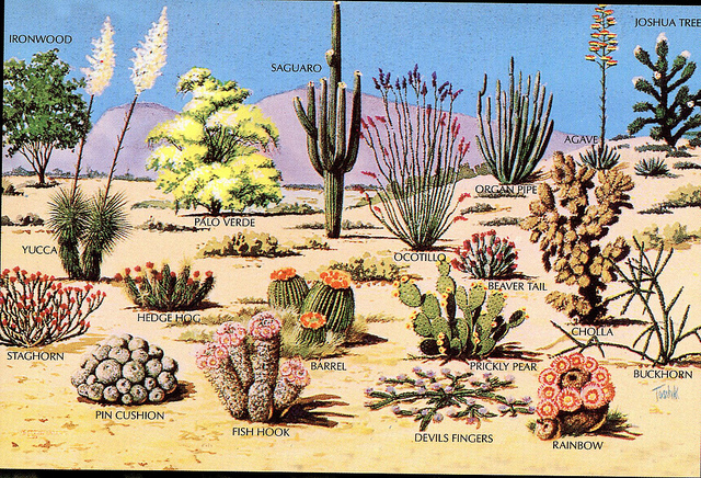
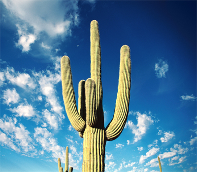
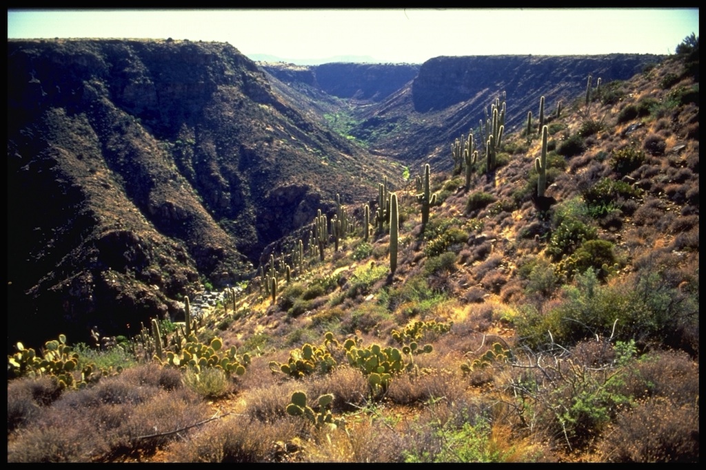
cactus: a type of desert plant that can live long periods of time with very little water
climate: the usual weather conditions in a particular place or region
dam: a barrier built to hold back water and raise its level
drought: a long period of time where there is no rain or very little rain
elevation: the height of a landform
irrigation: bringing in water, through pipes, from nearby rivers and lakes
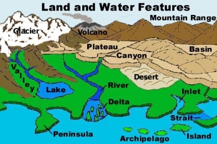
landforms: a natural feature of the Earth’s surface
palm trees: a type of tree found in tropical climates
subregion: a region within another larger region
tropical: warm regions close to the equator
weather: the condition of the air and how it moves at a particular time and place and the result of the air's conditions and movement including rain, snow, hail, thunder, lightning, rainbows, and haze
Landforms, Climate, & Weather Terms
to Know
coastline: the line where the ocean or other body of water meets the land
desert: a very dry area of land with little water and vegetation that receives no more than 10 inches of rain a year
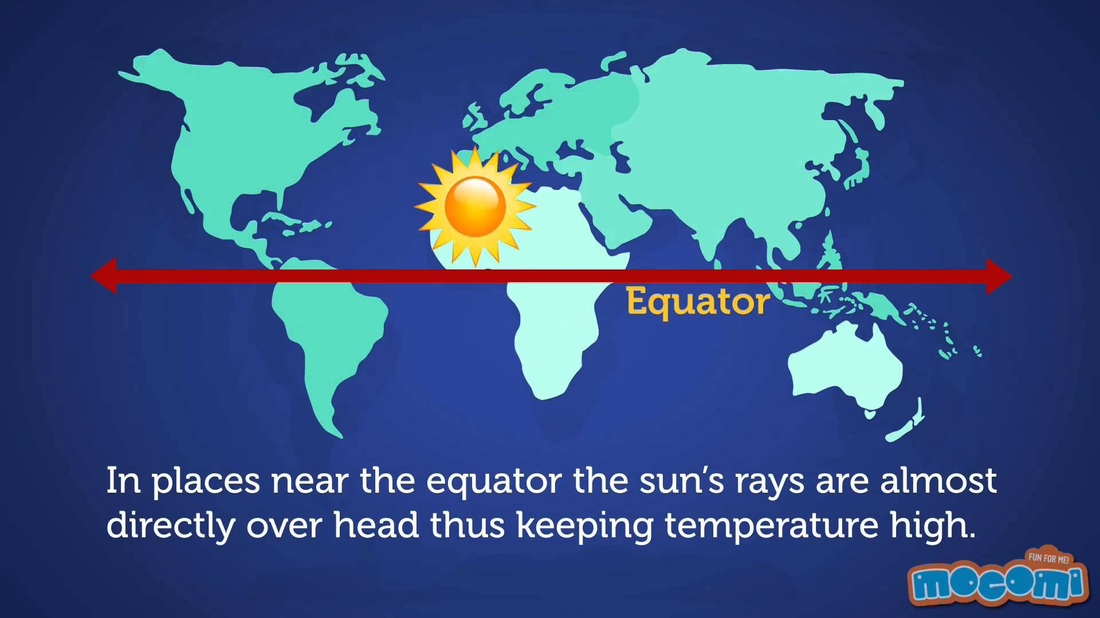
equator: an imaginary circle around the earth, with a latitude of zero degrees that is halfway between the north and south poles where the Earth's temperature is the warmest all year long
gulf: a part of the ocean (or sea) that is partly surrounded by land (it is usually larger than a bay).
river: a large, flowing body of water that usually empties into a sea or ocean.
semi desert areas: areas that are not as dry and bare as desert areas
thunderstorm: a storm with lightning and thunder produced by a cumulonimbus cloud, usually producing gusty winds, heavy rain and sometimes hail
tornado: a violent rotating column of air extending from a thunderstorm to the ground
tributary: a stream or river that flows into a larger river
tropical zone: regions located around the equator where the average temperature during all seasons is over 64 degrees Fahrenheit
Places to Know
OCEANS
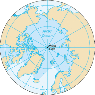
Arctic Ocean
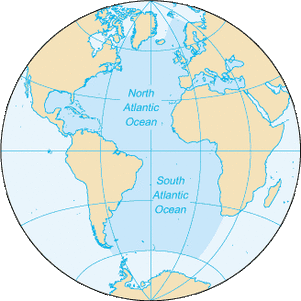
Atlantic Ocean
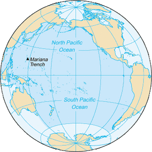
Pacific Ocean
RIVERS
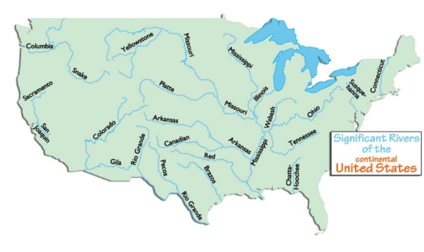
Columbia River
Mississippi River
Missouri River
Platte River
Rio Grande
Snake River
REGIONS
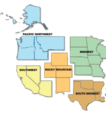
Mountain West Region
Pacific Coast Region
Pacific Northwest
CITIES
Juneau, Alaska
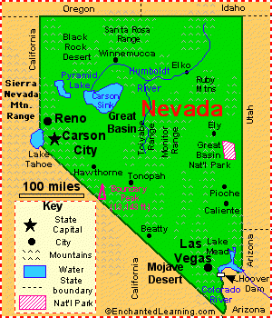
Las Vegas, Nevada & Reno, Nevada
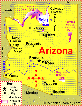
Phoenix, Arizona
Salt Lake City, Utah
LANDMARKS
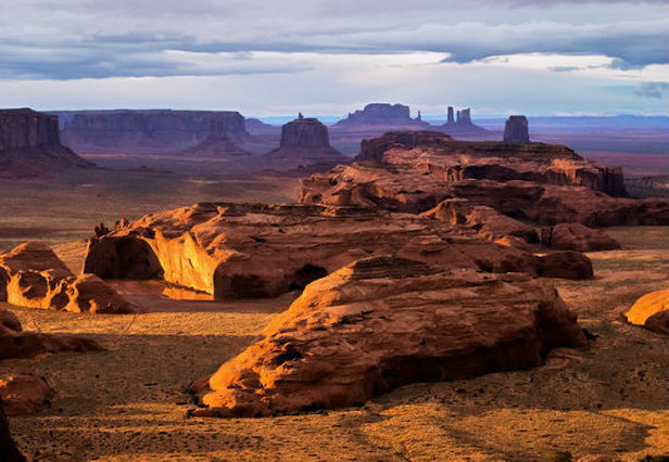
Colorado Plateau
Continental Divide
Rocky Mountains
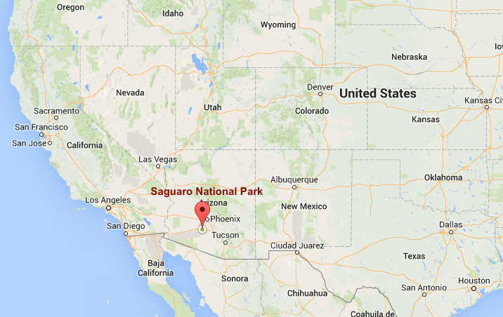
Saguaro National Monument
|
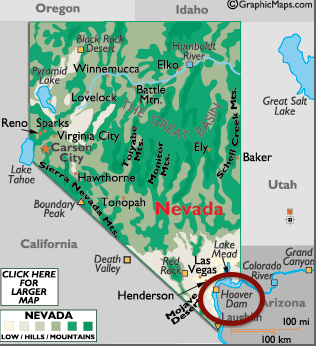
Hoover Dam
|
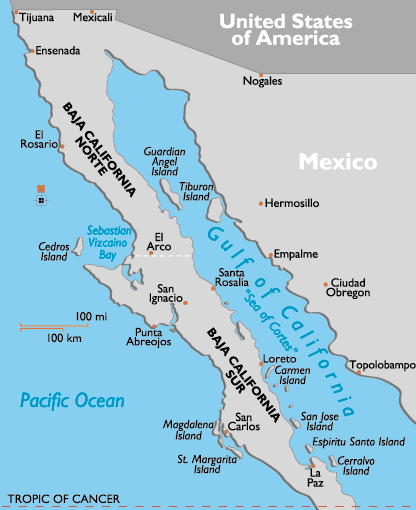
Gulf of California
|
Gulf of Mexico
|
|
|
|
DESERTS
|
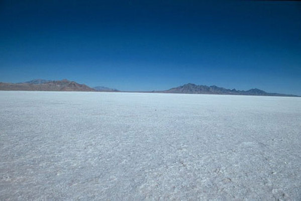
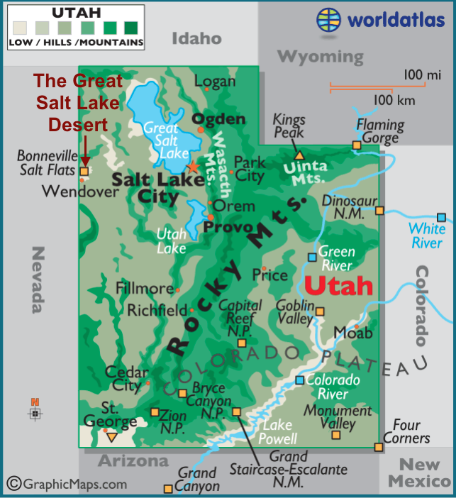
Great Salt Lake Desert
|
Death Valley
|
Mohave Desert
|
|
|
|
END OF LESSON 13 MODULE

Congratulations! You have completed Lesson 13 Module!